
Milwaukee Neighbors by Block
A block lookup works best as a map task. Start with a valid Milwaukee address, inspect the parcels that touch it, and follow each tax key into an official record. A parcel map shows what lies next door. The tax roll names an indexed owner. Deeds show transfers, while DNS records show public permits and property cases. Voter data and association pages have stricter limits.
| Source | What It Shows About a Block | Access |
|---|---|---|
| Map Milwaukee GIS | Adjacent parcels, tax keys, house numbers, ZIP and city lines, districts | Free public map and services |
| City Assessor | Owner, tax mailing and situs addresses, values, class, exemptions | Free web results and office help |
| Deeds and plats | Transfers and legal lot, block, and subdivision | Tapestry, counter, or copies; fees may apply |
| DNS LMS | Complaints, orders, permits, inspections, and attachments by address | Public search; certified request |
| WEC voter data | Unprotected registration fields and election participation | Written paid request; protected fields withheld |
| Associations and BIDs | Public leaders, board contacts, meetings, and boundaries | City pages and organization sites |
An assessor result proves only what its fields say. The owner mailing address can be the parcel, another home, a business, or a care-of address. It does not prove who sleeps at the property. An exemption may offer context but is not conclusive occupancy evidence. Milwaukee neighbors should be identified only where a public source directly supports the connection.
Map Milwaukee Neighbor Parcels
Map Milwaukee provides the city parcel route. Its reference services expose house numbers, tax keys, parcel outlines, street names, ZIP codes, and city limits. County land information adds municipality, school, voting, legislative, and environmental layers. The old address and tax-key options were removed from the I Want To menu, so the city directs users to the upper-right search bar.
- Search the target address and zoom until parcel outlines and house numbers are clear.
- Click the target parcel and copy its tax key. Then inspect parcels immediately north, south, east, and west.
- Open each tax key in the City Assessor result and record the owner, situs, and separate tax mailing address.
- Pan only as far as needed. Use the Milwaukee street directory for a whole named street.
The exact identify or select label was not visible in the static research capture, so rely on the live controls rather than a guessed button name. A tax key is the stable parcel identifier. It is more dependable than a neighborhood label, which may describe a planning district, an association area, or a common local name.
The successful Milwaukee GIS reference-service capture shows the official source for parcel and boundary layers.
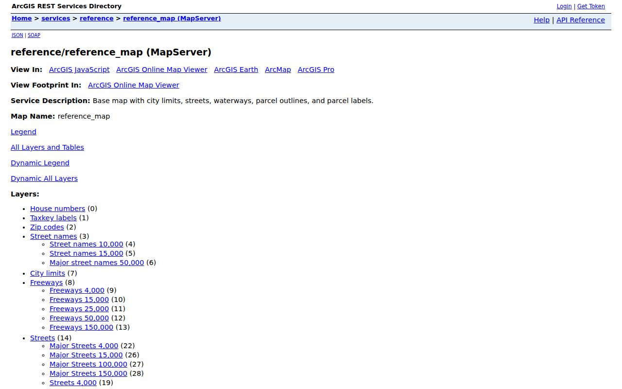
The service listing confirms which map layers can support a block search before an owner record is opened.
Confirm Milwaukee Neighbor Records
The Milwaukee Assessor Real Property Search connects an address or owner name to tax key, property class, assessed land and improvement values, exemptions, and sale fields. Treat the owner as an indexed taxpayer, not an automatic resident. For public building activity, My Milwaukee Home validates the address and sends the tax key to the DNS Land Management System.
DNS records can include complaints, enforcement orders, permits, inspections, attachments, and record numbers. A permit may identify an owner, architect, contractor, cost, or work description. It still does not name every person on the block. The city warns that unregistered ownership may not be listed and that web data is not certified proof. A defined open-records request to the department custodian is the fallback for a certified or missing city record.
Milwaukee Voter Data Limits
MyVote is a self-record checker, not a public browseable list of everyone on a street. It asks for first name, last name, and date of birth so an individual can view their own registration. A Milwaukee block study that needs public voter data must use the separate written request route through state or local election officials.
Wisconsin Statute section 6.36 allows access to unprotected registration data, which may include name, residential and mailing address, municipality, ward, districts, registration status, and election participation. It does not reveal a ballot choice. Date of birth, driver-license number, Social Security number, accommodation indicators, and confidential elector addresses are restricted. A no-match is not proof that no one lives at an address.
MyVote myth. The official tool checks a voter's own record. It cannot assemble a complete list of Milwaukee neighbors.
Milwaukee Neighborhood Contacts
The city's neighborhood association inventory provides public leaders, websites, meeting details, or social links for many areas. Those records show civic structure, not a private membership roll. Association lines can differ from city planning districts, and both can differ from ZIP boundaries.
East Side
Brady Street Area Association, Cambridge Woods, East Bank, Eastside Milwaukee Community Council, Historic Water Tower, Mariners, and Murray Hill have public contact clues.
Bay View
Bay View Neighborhood Association began through grassroots organizing in 2004 and maintains a public organization website.
North and West
Riverwest, Sherman Park, Enderis Park, Amani United, 5Points, Johnson Park, Friends of Lincoln Park, and Washington Heights appear in city resources.
South Side
Garden District, Walker's Point, and Walker's Square offer public civic context, though board and meeting details vary.
The successful city neighborhood-association capture illustrates public contact and meeting information.
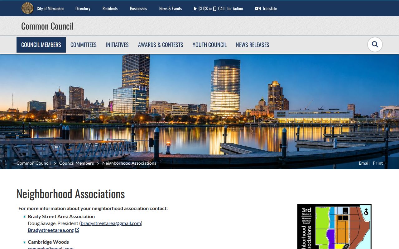
Use these contacts to learn about public meetings or block issues, not to infer who belongs to an association.
Milwaukee Block Boundary Layers
A parcel's surroundings can be described with more precision than a familiar neighborhood name. Milwaukee County GIS data includes municipality, voting, school, census block and tract, ZIP, sewerage, legislative, and environmental boundaries. Turn on only the layers needed. A parcel near Wauwatosa, West Allis, Greenfield, or another edge may carry a Milwaukee mailing label without sitting inside the City of Milwaukee.
Business Improvement District directories, public meeting notices, churches, civic clubs, and planning maps add public community context. A BID member list connects a business with an address, not a person with a home. Congregation and private group rosters should not be treated as public neighbor directories. Distinguishing civic contacts from household records keeps a block search accurate and respectful.
Official Milwaukee Records First
Commercial neighbor tools combine marketing data with public feeds and may lag behind the current assessor or deed. Official sources have narrower purposes, clearer custodians, and known field limits. That makes them easier to verify.
| Source type | Best use | Main limit |
|---|---|---|
| City and county records | Parcel, owner, deed, permit, and district facts | No complete occupant list |
| Election records | Lawfully released registration fields | Protected data withheld; not every resident registers |
| Association pages | Public leaders, events, and meetings | Not a membership or household roll |
| Commercial category | Possible lead for later verification | May be stale, merged, or unclear about its source |
Protect Milwaukee Neighbors' Privacy
Public records leave major gaps by design. Renters and other household members are not fully indexed through property rolls. Utility, delivery, and exact DMV address data should not be presumed public. Wisconsin's Safe at Home program gives eligible participants a substitute address and can protect an actual address in voter and other public records. Confidential electors do not lose that protection because someone is studying their block.
If an online result conflicts with the parcel map, deed, or custodian response, describe the conflict instead of choosing the most revealing version. Use a narrow date range and defined public purpose when making a Wisconsin Public Records Law request. Getting to know a Milwaukee block does not require collecting private details about every person nearby.
Lawful use. Use Milwaukee neighbor records for civic interest, reconnection, or personal safety awareness. Never use them to watch, stalk, harass, intimidate, or harm anyone.